Downtown GFW Wayfinding & Discovery Program
Find it. Explore it. Discover Downtown.
Downtown Grand Falls-Windsor is home to an incredible mix of businesses, restaurants, professional services, entertainment, community organizations, public spaces and local attractions.
But you can’t visit what you don’t know exists.
Downtown isn’t just one street.
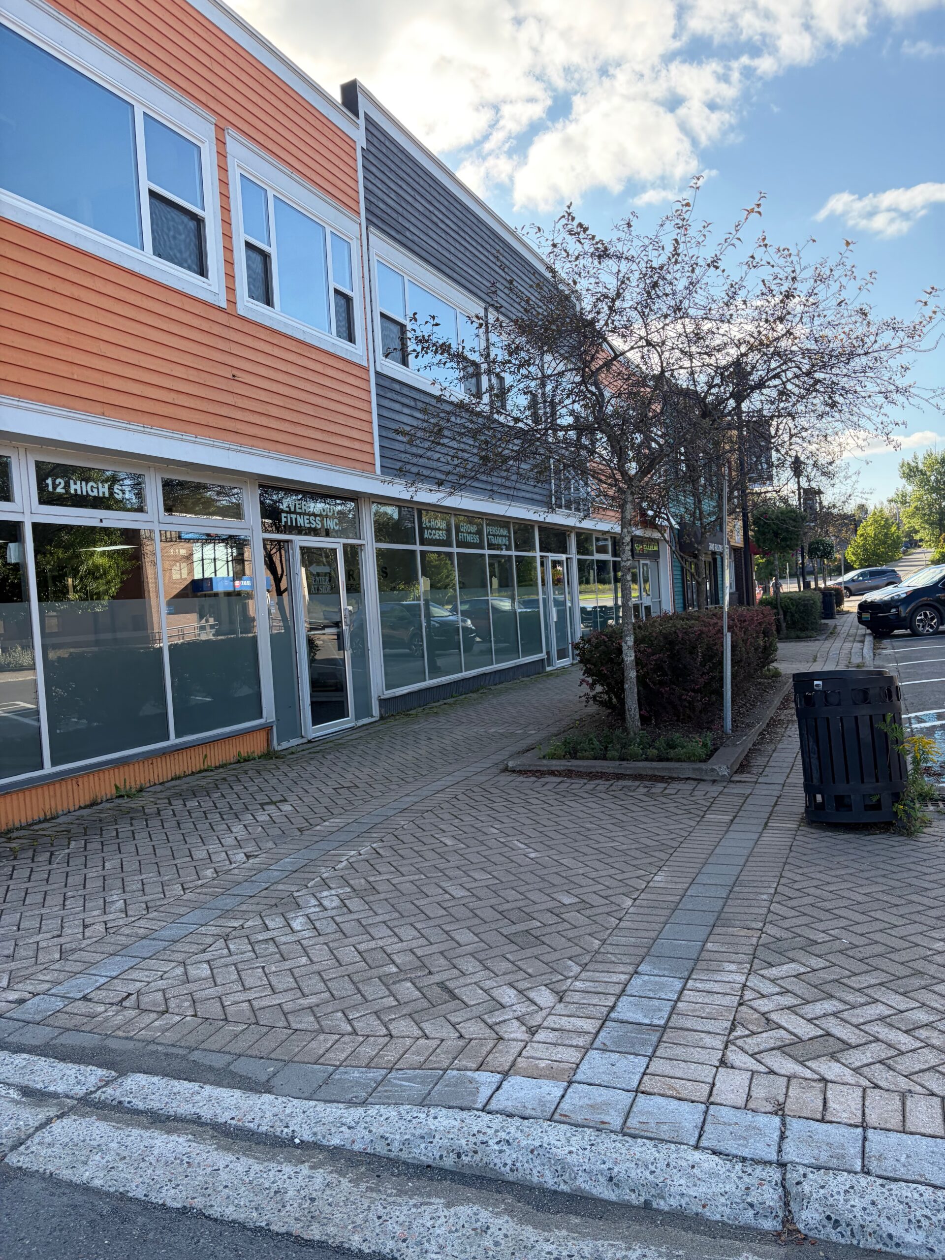
High Street, Mill Road, Church Road, Bank Road and the surrounding commercial area each contain businesses, services and attractions.
The Wayfinding & Discovery Program would visually connect these areas so they feel like parts of one recognizable Downtown GFW district.
Instead of asking:
“Where exactly is that business?”
We want people thinking:
“It’s Downtown. I’ll find it.”
Downtown GFW Map
At the centre of the program would be a professionally designed Downtown GFW Map & Business Directory.
The map would identify:
- Shops and retailers
- Restaurants, cafés and food
- Professional services
- Health and wellness
- Entertainment and recreation
- Arts and culture
- Community organizations
- Public spaces
- Splash pad and family amenities
- Heritage and attractions
- Parking areas
- Public washrooms where available
- EV charging
- Accessible locations and routes where appropriate
- Other useful visitor amenities
Businesses could be identified by number, icon, category or colour so the map remains clean and easy to understand.
Most importantly, inclusion should represent the downtown district as a whole, regardless of who owns the building.
Downtown Directory Kiosks
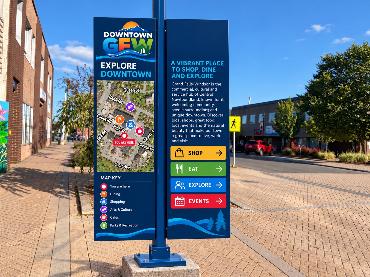
Large “YOU ARE HERE” Downtown GFW maps could be installed at strategic pedestrian locations.
Potential locations could include High Street, the splash pad/community area, Mill Road and other major entry or gathering points.
Each kiosk would answer three questions immediately:
Where am I?
What’s around me?
How do I get there?
Rather than overwhelming people with advertising, these should be attractive pieces of downtown infrastructure that complement the Downtown GFW brand.
Pedestrian Wayfinding
Once someone discovers something on the map, we need to help them get there.
Small pedestrian wayfinding signs could point toward destinations such as:
HIGH STREET →
MILL ROAD →
HERITAGE CENTRE →
SPLASH PAD →
SHOPPING →
FOOD & COFFEE →
PARKING →
Walking times could make the downtown feel more connected:
High Street — 2 min
Mill Road — 4 min
Heritage Centre — 6 min
A destination that sounds like it requires another drive suddenly feels like an easy walk.
Colour-Coded Downtown Routes
Different sections or walking routes could use subtle colour identification throughout the system.
The colours could appear on maps, signs and potentially sidewalk markers.
The purpose isn’t to divide downtown into artificial neighbourhoods.
It’s to create simple visual cues that make navigation easier while encouraging exploration beyond someone’s original destination.
Gateway Signs
Wayfinding should begin before someone parks.
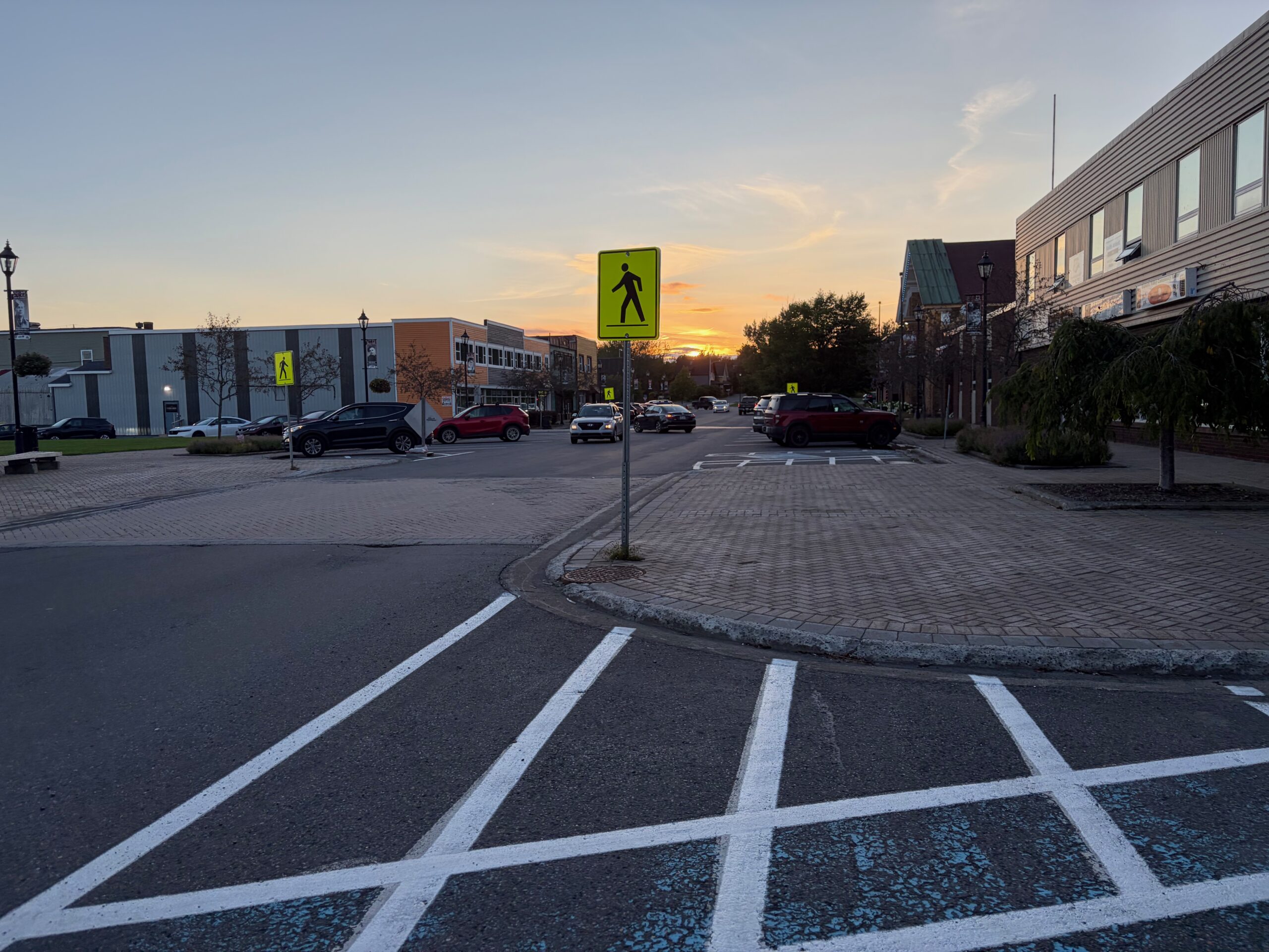
Strategically placed Downtown GFW gateway signs could tell motorists they are entering the downtown district.
Rather than simply saying Welcome Downtown, selected gateway locations could highlight major destinations or categories:
DOWNTOWN GFW
Shopping • Dining • Services • Entertainment
This begins creating a recognizable physical boundary and identity for Downtown GFW.
Digital Downtown Map
Every physical map should connect to a mobile-friendly digital version through a QR code.
Scan “Explore Downtown” and immediately see:
- Businesses
- Hours
- Phone numbers
- Websites and social media
- Business descriptions
- Current promotions
- Events
- Directions
- Parking
- Attractions
- What’s nearby
Unlike printed signage, the digital directory can be continuously updated as businesses open, relocate or change hours.
Discover What’s Around You
The digital system could eventually become location-based.
Someone standing near the splash pad could scan a QR code and see:
What’s nearby?
Coffee — 2-minute walk
Lunch — 3-minute walk
Shopping — 2-minute walk
Entertainment — 4-minute walk
That changes the directory from a list of businesses into a discovery tool.
Business Window Markers
Participating businesses could receive a small, attractive:
📍 DOWNTOWN GFW
window decal or plaque.
This reinforces the district identity and tells customers that the business is part of the larger downtown experience.
A QR code could connect visitors directly to the Downtown GFW directory.
Printed Downtown Maps
The same system could produce inexpensive printed maps available at:
Hotels.
Tourism locations.
Restaurants.
Town facilities.
Community events.
Participating downtown businesses.
Visitors could pick one up and immediately understand what exists downtown.
The important part is maintaining one map and one visual system, rather than creating separate disconnected tourism, business and wayfinding materials.
More Than Directions
The program isn’t really about helping someone find an address.
Google Maps already does that.
Our opportunity is discovery.
Google can tell someone how to get to a business they already know exists.
Downtown GFW can show them the 30, 50 or 100 other businesses, experiences and places nearby that they didn’t know existed.
That’s the difference.
Supporting Every Downtown Business
A good wayfinding system creates value for businesses regardless of their location.
A business doesn’t necessarily need prime frontage if pedestrians can easily discover it and understand how close it is.
This is particularly important for businesses located:
- On secondary streets
- Inside multi-tenant buildings
- Above street level
- Around corners
- Away from major traffic
- In locations without prominent signage
Wayfinding helps turn the entire district into valuable commercial frontage.
A Platform That Can Grow
The initial program could begin relatively simply:
Phase 1 — Build the Downtown GFW business database and master map.
Phase 2 — Install the first major Downtown GFW directory/map.
Phase 3 — Add pedestrian directional signage at key intersections.
Phase 4 — Launch the interactive online directory and QR system.
Phase 5 — Add gateway signs, additional kiosks and colour-coded routes.
Phase 6 — Connect SNAP Zones, attractions, events, heritage and other Downtown GFW programs into the same system.
That allows the program to grow over several years without requiring everything to be funded at once.
Measuring Success
The program should also be measurable.
QR scans can tell us which locations are being used.
Website analytics can show which businesses and categories visitors explore.
Participating businesses can be surveyed about customer awareness.
Pedestrian counts could eventually measure activity at key downtown locations.
That gives Downtown GFW actual data when deciding what to improve next.
The Bigger Vision
A successful downtown should be easy to understand.
When someone arrives, they should immediately recognize:
I’m Downtown.
Here’s what’s here.
Here’s where I can park.
Here’s what’s happening.
And here’s what I haven’t discovered yet.
The Downtown GFW Wayfinding & Discovery Program would connect businesses, streets, attractions and public spaces into one recognizable downtown experience.
Because the objective isn’t simply helping people get from Point A to Point B.
It’s getting them to discover Points C, D and E along the way.
Find Downtown. Explore Downtown. Discover Downtown GFW.